Project Overview
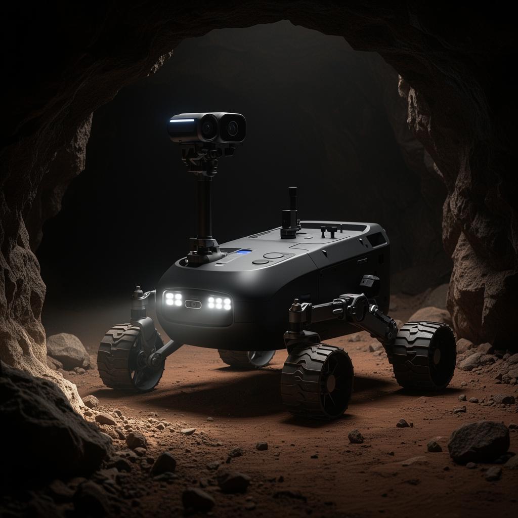
ZEUS is a groundbreaking autonomous surveillance robot designed to revolutionize safety in hazardous underground environments. Built from the ground up with safety as the primary concern, this Mars rover-inspired robot navigates through caves and mines where human presence would be dangerous or impossible. The system provides real-time environmental monitoring and live video feeds, enabling safety teams to assess conditions before deploying human workers.
The Problem
Underground mining and cave exploration present life-threatening risks including toxic gas accumulation, oxygen depletion, structural instability, and extreme temperatures. Traditional inspection methods require human presence, putting lives at risk. Existing remote solutions lack real-time environmental monitoring and autonomous navigation capabilities, leaving critical safety gaps.
The Solution
ZEUS combines autonomous navigation with comprehensive environmental sensing to create a complete safety assessment platform. The robot can independently explore unknown terrain while continuously monitoring air quality, temperature, and structural conditions. Real-time data transmission enables safety teams to make informed decisions from a safe distance, while the autonomous return-to-base feature ensures the robot can self-recover in emergencies.
Architecture & Infrastructure
- Raspberry Pi 4 serves as the central processing unit, running Python-based control systems
- Custom sensor array interfaces via I2C and SPI protocols for environmental monitoring
- ESP32 modules create a mesh network for reliable underground communication
- OpenCV processes camera feeds for obstacle detection and SLAM-based mapping
- WebSocket server streams real-time data to the control dashboard at 30fps
- TensorFlow Lite runs on-device for hazard classification without cloud dependency
Key Features
- Live 360-degree video streaming with night vision and thermal imaging capabilities
- Real-time air quality monitoring (O2, CO2, CO, CH4, H2S levels)
- Temperature and humidity sensors with configurable alert thresholds
- Autonomous navigation using SLAM algorithms with obstacle avoidance
- WebSocket-based dashboard for real-time monitoring and manual override
- Emergency shutdown and autonomous return-to-base protocols
- Mesh network communication for signal relay in deep underground environments
- Modular sensor bay for mission-specific equipment attachment
Tech Deep Dives
Mesh Network Communication
Underground environments block traditional RF signals. ZEUS deploys breadcrumb relay nodes during exploration, creating a self-healing mesh network using ESP-NOW protocol. Each node can relay data up to 100m to the next, with automatic route optimization when nodes fail.
SLAM Implementation
We implemented a custom lightweight SLAM solution using RPLidar A1 and IMU fusion. The algorithm creates 2D occupancy grids in real-time, enabling autonomous navigation while building comprehensive maps of explored areas. Map data is compressed and transmitted to the base station for 3D reconstruction.
Hazard Detection AI
A TensorFlow Lite model trained on 10,000+ images classifies structural hazards like unstable rock formations, water accumulation, and equipment damage. The model runs entirely on-device at 15fps, triggering immediate alerts when hazards are detected.
Challenges & Outcome
Challenge: The primary challenge was ensuring reliable communication in underground environments with limited signal penetration. We implemented a mesh network system with signal repeaters and developed custom compression algorithms for video streaming over low-bandwidth connections. Variable lighting conditions required a custom image processing pipeline that could handle complete darkness to bright flashlight reflections.
Outcome: Currently awaiting patent approval. The prototype successfully completed 50+ hours of autonomous exploration in test mine environments, detecting 3 potential safety hazards that would have been missed by traditional inspection methods. The project has garnered interest from mining safety organizations in India.
Future Roadmap
- 3D mapping with LiDAR point cloud generation
- Drone deployment capability for vertical shaft exploration
- Integration with existing mine safety systems
- Swarm coordination for multi-robot exploration